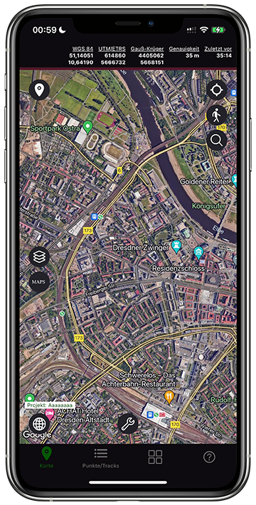
TopoRec – Map Viewer for smartphone & tablet
Discover old traces from above: aerial photo analysis with orthophotos in TopoRec
With TopoRec, you can view, compare and evaluate high-resolution orthophotos on your smartphone or tablet – for historical analysis, terrain interpretation or simply for curiosity.
In combination with other map layers, your surroundings become an archive of past use and developments.
What are orthophotos – and why are they so valuable?
Orthophotos are rectified aerial images in which distortions caused by camera tilt or differences in terrain have been removed. They combine the accuracy of a map with the richness of detail of an aerial photograph.
They are an indispensable tool for historical landscape analysis: you can recognize old field structures, ditches, traces of paths or the remains of foundations – things that have long since disappeared from today’s maps.


